Home | Our Projects | Coastal Texas Project | Galveston Bay Shoreline and Island Protection
Galveston Bay Shoreline and Island Protection is one element of the U.S. Army Corps of Engineers’ Coastwide Ecosystem Restoration Plan, also known as the National Ecosystem Restoration Plan or NER Plan. Part of the broader Coastal Texas Project, this element is complementary to the Galveston Bay Barrier System, but not the same element.
This element consists of:
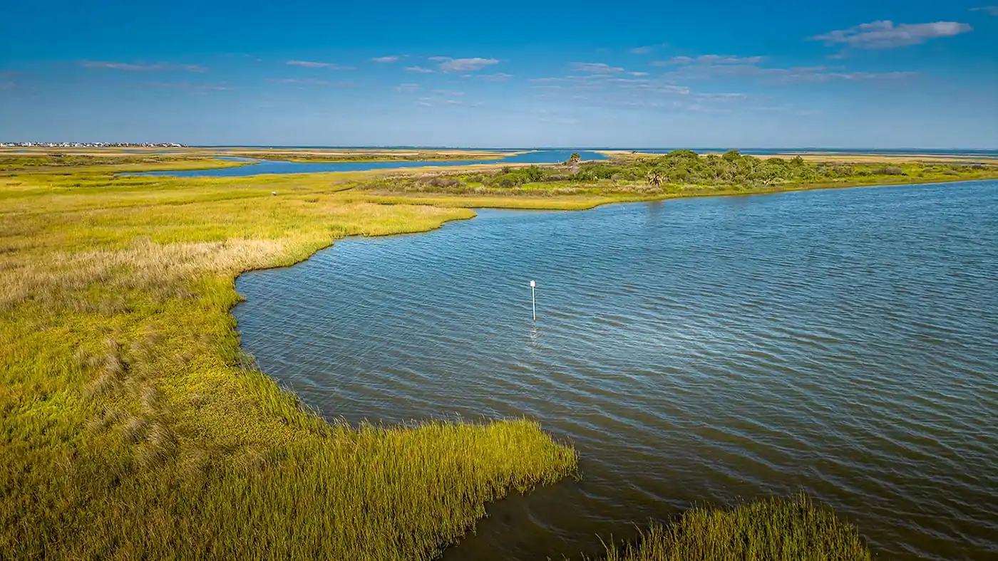
The plan aims to restore wetlands and islands, construct breakwaters, and create oyster habitat. These activities aim to decrease erosion and loss of habitat from vessel wakes, as well as reduce maintenance dredging of the Gulf Intercoastal Waterway.
Located mostly in Galveston County between Chocolate Bay and High Island, this element focuses on 40.4 miles along the Gulf Intercoastal Waterway (GIWW) shoreline.
Design of the first segment of this element, known as G28-1, began in March 2025. The Texas General Land Office is leading the design, with oversight, reviews and approvals by GCPD and the U.S. Army Corps of Engineers. G28-1 consists of approximately 4 miles of rock breakwater along the Gulf Intracoastal Waterway next to Bolivar Peninsula, designed to prevent erosion and restore coastal habitat. Once federal construction funding is received, the Corps will build it.
Federal sponsor: A project constructed by USACE using federal funding, then handed off to a local entity for operations & maintenance.
Lead non-Federal sponsor: a local entity partnered with USACE to carry out projects. Responsibilities can include cost sharing, land acquisition, project design, construction, regulatory compliance, and long-term maintenance.
Non-Federal sponsor: a local entity partnered with USACE to carry out projects. Responsibilities can include cost sharing, land acquisition, project design, construction, regulatory compliance, and long-term maintenance.