
Galveston Bay Shoreline and Island Protection is an ecosystem restoration element of the Coastal Texas Project focused on about 34 miles along the Gulf Intracoastal Waterway (GIWW) shoreline. Gulf Coast Protection District (GCPD) is helping advance work to restore wetlands and islands, construct breakwaters and create oyster habitat along a stretch of the Texas coast experiencing significant erosion and habitat loss.
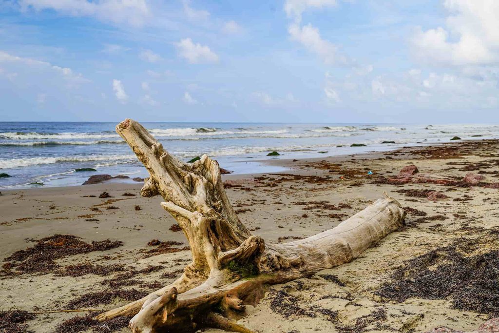
Erosion Is Reshaping the Galveston Bay Shoreline
The Texas General Land Office (GLO) reports an average erosion rate of 4.1 feet per year across the state’s 367-mile coastline. This staggering figure reflects the forces continually acting on the Texas coast.
The Galveston Bay system is especially vulnerable because nearly half of its shoreline consists of low-elevation wetlands and tidal flats, coastal features experiencing some of the greatest rates of retreat. Preserving these natural systems is part of protecting the region over the long term.
NOAA explains that coastal wetlands can slow waves and storm surge, reduce erosion and help limit flooding. The condition of the shoreline therefore has direct implications for the health of Galveston Bay, its communities, industry and infrastructure.
Restoring a Shoreline That Supports a Working Coast
The shoreline along this project area also borders one of Texas’ most important commercial waterways. The Texas portion of the GIWW stretches 379 miles, connecting ports and private terminals and carrying goods along the coast and beyond.
That makes shoreline stability important to the natural environment and the working coast around it. As part of the project plan, restoring wetlands and islands and constructing breakwaters are expected to reduce erosion and habitat loss from vessel wakes while also reducing the need for maintenance dredging along the GIWW.
Strengthening this stretch of shoreline can therefore support healthier coastal ecosystems, more resilient natural features and the continued function of a waterway that plays such an important role in the Texas economy.
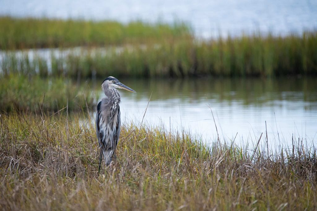
What We Are Restoring Along Galveston Bay
GCPD serves as the lead non-Federal sponsor for this element, working with our partner agencies, the U.S. Army Corps of Engineers (USACE) and the GLO. The current project plan includes about 35 miles of breakwater, 325 acres of island creation, 20 acres of oyster cultch, and 200 acres of marsh nourishment.
The work is concentrated mostly in Galveston County between Chocolate Bay and High Island, along 34 miles of GIWW shoreline.
This shoreline restoration approach combines several features, each designed to address a different part of the coastal system:
- Breakwaters: These structures reduce wave action in protected areas, helping limit shoreline erosion and create calmer conditions behind them. USACE explains that breakwaters are used to dissipate wave energy and protect shorelines and navigation areas.
- Wetland and marsh restoration: This Texas wetlands restoration work helps slow moving water, capture sediment and stabilize vulnerable shorelines while providing habitat for fish, birds and other wildlife.
- Island creation and stabilization: This barrier island restoration work rebuilds land within the bay system, strengthens habitat and helps preserve natural features being lost to erosion.
- Oyster habitat: Oyster cultch creates hard-bottom habitat that supports marine life, helps stabilize sediments and adds another layer of ecological function to the restored shoreline.
Taken together, these features form a broader restoration strategy designed to strengthen the shoreline, rebuild habitat and improve the natural systems that help protect the upper Texas coast.
Part of the Largest Coastal Protection Effort in U.S. History
The Coastal Texas Project is the largest coastal protection effort in U.S. history. Galveston Bay Shoreline and Island Protection is one element of the broader project initiative to bring coastal storm risk reduction and ecosystem restoration together in a comprehensive strategy for the Texas coast.
The project’s other major element, the Galveston Bay Barrier System, also known locally as “Ike Dike,” is designed to defend communities and infrastructure from hurricane-driven storm surge and coastal flooding. The Galveston Bay Barrier System will incorporate a wide range of features, including storm surge gates, beaches and dunes, seawall improvements, pump stations and floodproofing measures.
Together, these elements combine engineered protection with nature-based solutions, giving the Texas coast multiple layers of defense while safeguarding the natural systems that support the region.
Follow Our Work Along the Texas Coast
We are helping advance Galveston Bay Shoreline and Island Protection as part of a long-term effort to safeguard communities, coastlines and the natural systems that support them. Explore the full Coastal Texas Project to see how this restoration work fits within the broader coastal protection strategy. For questions about this work or our role as a non-Federal sponsor, contact us.
